Question Your World: What's Happening to Lakes?
Fresh water is such a vital part of life here on Earth. Only about 1.2% of Earth’s water is usable to us as drinkable fresh water in the form of rain, groundwater, rivers and lakes. Besides being a source of freshwater, lakes are some of the most important places on our planet. So, what's happening to lakes on Earth?
Lakes host a vast amount of biodiversity and have supported many of Earth’s civilizations through fishing and aquaculture. Despite their immeasurable value, how these bodies of water have changed over time has remained relatively understudied.
To remedy this lack of data, a team of researchers just created the most accurate and detailed map of our planet’s lakes. A total of 3.5 million lakes across the globe were documented and their evolution over the last four decades were studied using satellite imagery and artificial intelligence.
Scientists found that between 1984 to 2019, the area of global lake surfaces grew by almost 18,000 square miles. That’s about 40% the size of Virginia!
Of all the lakes they observed, they saw more and more new, small lakes appearing than anything else. Small lakes attract more organic life and since they are shallow, they allow more heat-trapping gasses to escape from the surface and subsequently into the atmosphere.

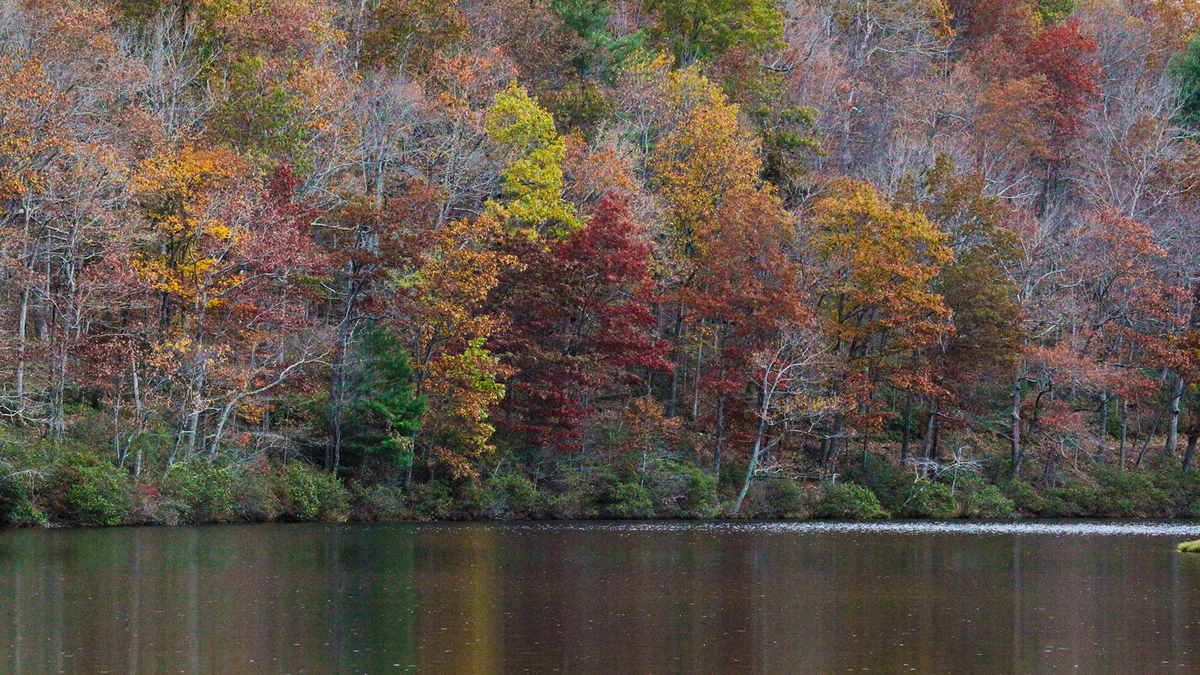
The Civilian Conservation Corps built Lower Sherando Lake (20 acres) in the mid-1930s, and the U.S. Soil Conservation Service built Upper Sherando Lake (seven acres) in 1958, both as flood control lakes. They are owned by the U. S. Forest Service and located in the George Washington and Jefferson National Forests in Augusta County, Virginia.
Emissions from freshwater lakes are equivalent to 20% of the world’s fossil fuel emissions annually, meaning this is no small source. Annual increase of carbon dioxide (CO2) emissions from lakes is just about that of CO2 emissions from the United Kingdom in 2012.
So where are all these new lakes coming from?!
Human-built reservoirs account for more than half the new lake surface area, while thawing permafrost and melting glaciers account for the other half. This survey is a first of its kind and is going to help scientists better track how we interact with these changing bodies of water and help us better plan for how life around these areas operates.
Here's a bit of good news from this survey: this information can now also be used to inventory Earth’s existing freshwater resources, assess surrounding areas for flood risk and provide more information on how to help maintain various lake ecosystems as these changes will impact their biodiversity as well.
Stay tuned as ongoing research continues to make a splash by expanding our knowledge on this vital and precious resource here on Earth. Water ... it’s pretty important stuff!


